Catalog Archive
Auction 125, Lot 44

"Colton's Map of the World on Mercator's Projection", Colton, George Woolworth
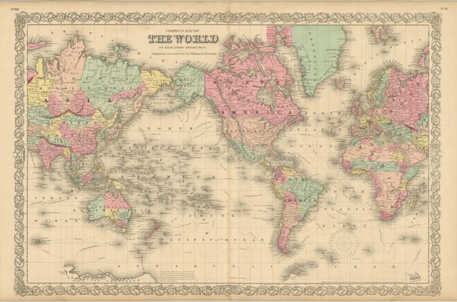
Subject: World

Period: 1856 (published)

Publication: Illustrated Atlas of the World

Color: Hand Color

Size:
26.2 x 17.3 inches
66.5 x 43.9 cm
Download High Resolution Image
(or just click on image to launch the Zoom viewer)

A beautifully engraved double-page map of the world with a focus on explorations and discoveries to date. The sheet is centered on North America; Canada named British Possessions, Alaska is Russian America. Tasmania is also called Van Diemans Land. Antarctica is beginning to take shape with the coast delineated between Cook's landing of 1773 and Vincenne's in 1840, naming Repulse Bay, Termination Land, Knox's High Land, Budd's High Land, Sabrina Land, Totten's Land, Porpoise Bay, Clarie Land, and Adelia Land. A small length of coast is also defined as Graham's Land. A superb map that shows the state of the world in 1855. The map features fine original hand coloring and Colton's distinctive scroll-style border. Dated 1855, this map was published in the first edition of Colton's monumental world atlas.

References:

Condition: A+

Fine impression and original hand coloring on thick sheets with original margins. A little marginal edge toning and a few tiny spots, still fine.

Estimate: $100 - $140

Sold for: $120

Closed on 9/24/2008

Archived