Catalog Archive
Auction 125, Lot 353

"[Lot of 2] Mexico, or New Spain; in which the Motions of Cortes may be Traced [and] Map of the Gulf of Mexico the Islands and Countries Adjacent", Kitchin, Thomas

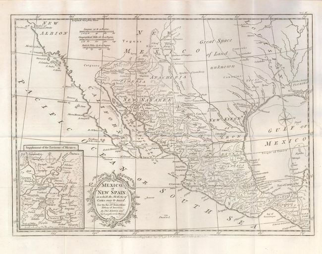
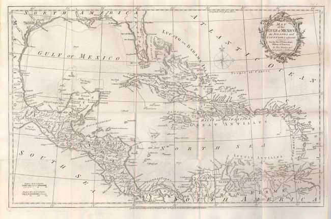
Subject: Gulf of Mexico and Caribbean

Period: 1795 (dated)

Publication: Robertson's History of America

Color: Black & White

Size:
See Description
Download High Resolution Image
(or just click on image to launch the Zoom viewer)

A matched pair of maps that together delineate the entire span from California through the Caribbean Islands. Both have decorative title cartouches and compass roses.

1) Mexico or New Spain… (15.3 x 11") is an attractive map of the American Southwest and Mexico. California is New Albion and contains little detail outside of a few coastal place names. The region of present-day Arizona and New Mexico is well delineated with numerous Indian villages and the locations of missions. From New Mexico to Louisiana is "Great Space of Land Unknown." The small Texas settlement of Cenis is near the New Kingdm. of Leon. An inset at lower left shows Mexico City on the large Lake of Mexico with L. Chalco below. Beautifully engraved with a decorative title cartouche and compass rose. Folding as issued. Fine. (A+)

2) Map of the Gulf of Mexico… (19.5 x 12.5") continues where the first map ends and extends to beyond the Leeward and Windward Islands. It includes Trinidad and the northern portion of South America, Venezuela and Terra Firma. The map is also beautifully engraved and provides good detail throughout. Folding, as issued. Near fine example with just a trace of offsetting or surface soiling and a couple of soft folds. (A)

References: 1) Wheat (TMW) #172; 2) Howes #358.

Condition:

See individual descriptions.

Estimate: $250 - $350

Sold for: $210

Closed on 9/24/2008

Archived