Catalog Archive
Auction 125, Lot 343
"The Coast of New Spain from Nueva Vera Cruz to Triste Island", Jefferys, Thomas
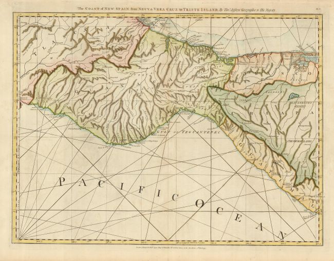
Subject: Mexico
Period: 1775 (dated)
Publication: The West India Atlas
Color: Hand Color
Size:
25 x 18.8 inches
63.5 x 47.8 cm
Download High Resolution Image
(or just click on image to launch the Zoom viewer)
(or just click on image to launch the Zoom viewer)