Catalog Archive
Auction 125, Lot 323

"Cape Flattery and Nee-Ah Harbor Washington", U.S. Coast Survey
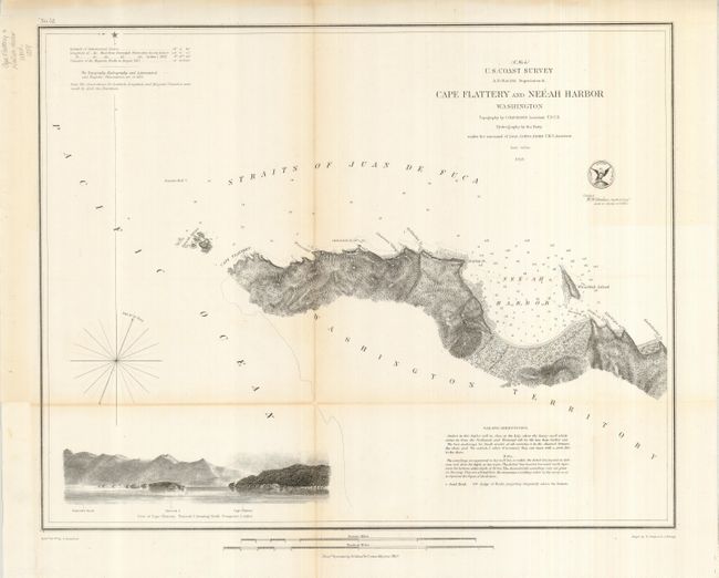
Subject: Washington

Period: 1853 (dated)

Publication:

Color: Black & White

Size:
17 x 13.5 inches
43.2 x 34.3 cm
Download High Resolution Image
(or just click on image to launch the Zoom viewer)

Navigational chart of the northwestern-most contiguous point of the United States. Entering the Straits of Juan de Fuca, the Tatoosh Islands posed the most extreme danger to ships, so construction of a lighthouse was started in 1856. The next year the Cape Flattery Lighthouse began operations. The chart locates the Tatoosh Islands, Neah Bay (here Nee-ah Harbor), waterfall, includes numerous soundings in the harbor, sailing directions and a large profile view of Tatoosh Island off Cape Flattery.

References:

Condition: B+

Professionally backed to support fold toning and some splits. Full, original margins.

Estimate: $80 - $120

Sold for: $60

Closed on 9/24/2008

Archived