Catalog Archive
Auction 125, Lot 15

"[Lot of 6] Amerique Septentrionale [with] Amerique Meridionale [and] Asie [and] Afrique [and] Europe [and] Oceanie", Levasseur, Victor
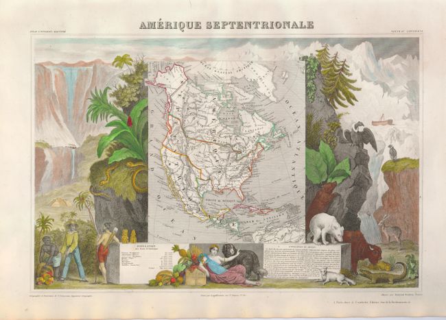
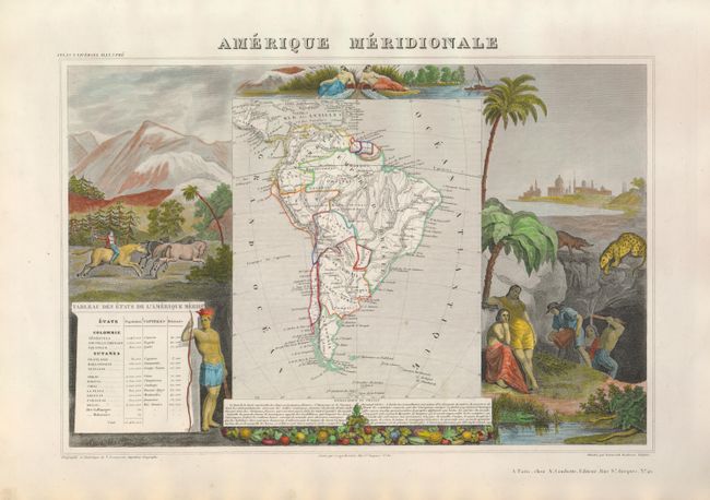
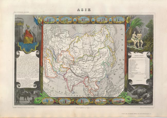
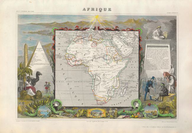
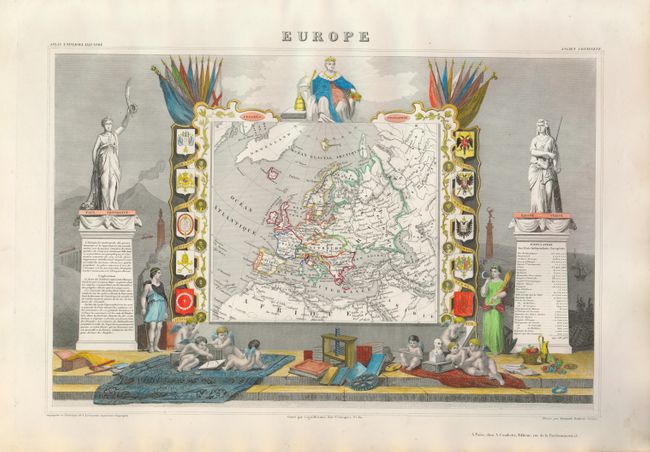
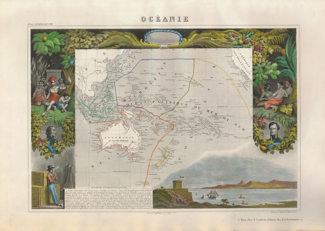
Subject: Continents

Period: 1849 (circa)

Publication: Atlas Universel Illustre

Color: Hand Color

Size:
17 x 11 inches
43.2 x 27.9 cm
Download High Resolution Image
(or just click on image to launch the Zoom viewer)

Victor Levasseur's "Atlas National Illustre" and "Atlas Universel Illustre" are among the last decorative atlases published. The maps are all lavishly illustrated with scenes of the countryside, products and activities indigenous to the region.

This lot includes all the continents but not the Planisphere world map. A fine set of six matching maps; sizes vary slightly.

1. Amerique Septentrionale. This map shows the United States extending into present-day Canada, with Russia in control of Alaska, the Republic of Texas, and Mexico's northern border drawn according to the Treaty of 1819 (here miss-printed as 1810). Oregon Territory extends well into Canada demonstrating France's support of the U.S.'s claims in the boundary controversy with Britain. Surrounded by richly colored and beautifully engraved scenes of North and Central America including wildlife, a ship stranded in the polar sea, and a Mayan temple.

2. Amerique Meridionale. This map shows political divisions in outline color. The map is surrounded by steel engraved scenes including horses, Indians, jaguars, tapirs, and mining, as well as personifications of the rivers Amazon and La Plata at the top of the map.

3. Asie. This map of the Asian continent is surrounded by steel engraved vignettes depicting costumes of the various peoples of Asia, Adam and Eve, and several exotic animals. Interesting population chart at right totaling only 638,550,000 for the entire continent!.

4. Afrique. The continent is colored to show the colonial possessions and major tribal kingdoms. The interior is mostly void of detail, with the exception of the mythical Mountains of the Moon in the center of the continent. The map is surrounded by scenes including the pyramids, wild animals, natives, the French army in Algeria and vignettes of Alexandria, Cairo, and Algiers.

5. Europe. While the map itself is quite simple with original color distinguishing the various countries, the surrounding engravings make this one of the most decorative 19th century maps. The map is framed by medallion portraits and coats of arms down each side and is set against a background of statues and allegorical figures. A large group of adorable cherubs engaged in academic pursuits fills the foreground.

6. Oceanie. This map covers the entire South Pacific, divided into four parts. Malaisie includes the islands of Southeast Asia. Micronesie includes the island groups between the Philippines and Hawaii. Melanesie includes Australia, New Guinea, the Salomon Islands and Figi. The largest division of Polynesie incorporates New Zealand and the rest of the islands in the Pacific. The surrounding scenes feature the natives of the region, portraits of French leaders, lush native foliage and a harbor vignette.

References:

Condition: A

Beautiful, strong impressions, later color and full margins. All near fine less some minor marginal soiling or spotting.

Estimate: $700 - $900

Sold for: $400

Closed on 9/24/2008

Archived