Catalog Archive
Auction 125, Lot 154

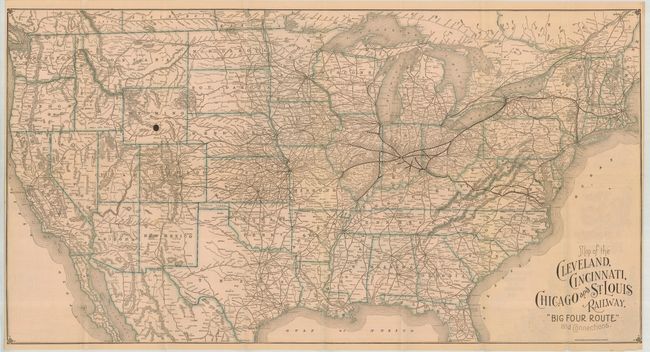
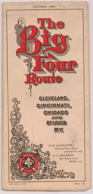
"Map of the Cleveland, Cincinnati, Chicago and St. Louis Railway. Big Four Route and Connections", Poole Bros.

Subject: United States

Period: 1890 (dated)

Publication:

Color: Printed Color

Size:
30.5 x 16 inches
77.5 x 40.6 cm
Download High Resolution Image
(or just click on image to launch the Zoom viewer)

Folding map with timetables and bird's eye view of Cincinnati and another of the magnificent Central Union Station in Cincinnati on verso. Self folds into very decorative Victorian-style covers. The map actually shows the entire United States with the railroad's lines in the Midwest shown in bolder fashion. This nice example is dated October, 1890.

References:

Condition: A

Folding, as issued. This example is mint save for a 1/4" ink spot in central Wyoming and owner's sign on back cover.

Estimate: $100 - $120

Sold for: $120

Closed on 9/24/2008

Archived