Catalog Archive
Auction 125, Lot 144

"Carte Physique et Politique des Etats-Unis Canada et Partie du Mexique", Drioux & Leroy

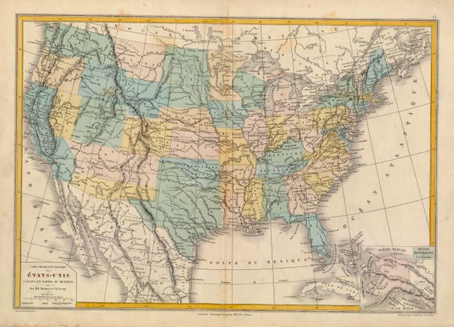
Subject: United States

Period: 1867 (circa)

Publication: Atlas Universelle et Classique

Color: Hand Color

Size:
16.7 x 11.5 inches
42.4 x 29.2 cm
Download High Resolution Image
(or just click on image to launch the Zoom viewer)

Interesting map shows state boundaries in configurations from circa 1867 with engraved dotted lines, but the coloring shows boundaries from several years earlier. The southern part of Arizona and New Mexico is colored to show the Confederate affiliation. Washington's eastern boundary reaches the Rocky Mountains of Montana; Wyoming includes the southern half of Idaho; Dakotah has not been divided. Nevada is still to gain from Arizona and Utah. The map shows railroads, the Oregon Trail, Indian tribes, forts, etc. The inset map titled Region Du Nord-Ouest Aux Etats-Unis shows the newly acquired territory of Alaska in Seward's Folly.

References:

Condition: B+

Some minor toning along centerfold, else very good. A nice example.

Estimate: $100 - $140

Unsold

Closed on 9/24/2008

Archived