Catalog Archive
Auction 125, Lot 120

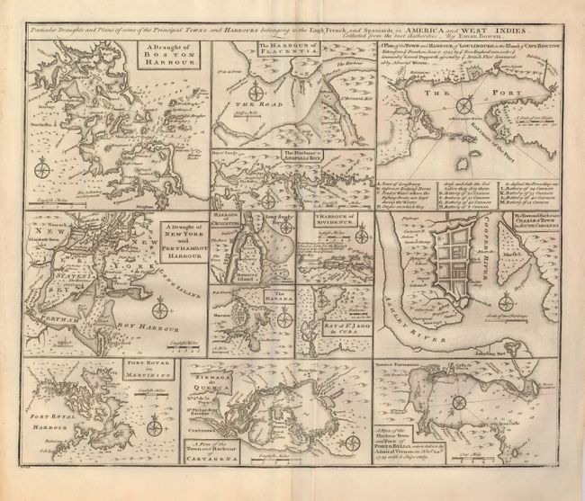
"Particular Draughts and Plans of some of the Principal Towns and Harbours belonging to the English, French and Spaniards, in America and West Indies", Bowen, Emanuel
Subject: Colonial North America

Period: 1757 (published)

Publication: A Complete System of Geography

Color: Black & White

Size:
17 x 14 inches
43.2 x 35.6 cm
Download High Resolution Image
(or just click on image to launch the Zoom viewer)

An unusual copper engraving featuring thirteen small maps of colonial towns and sea ports including New York, Boston, Charleston, Cartagena, Martinico, St. Augustine, Havana, etc. Various sized borders enclose each map, with its own compass rose and scale of miles. Lovely impression.

References:

Condition: B+

Beautiful impression on hand laid paper with full original margins. Soft crease right of centerfold and centerfold split at lower margin. Along centerfold is a tiny hole with larger area of paper thinness from removal of backstrap, neither is distracting.

Estimate: $200 - $250

Sold for: $350

Closed on 9/24/2008

Archived