Catalog Archive
Auction 124, Lot 328
"A New and Accurate Chart of the West Indies with the Adjacent Coasts of North and South America. Drawn from the Best Authorities assisted by the most approved modern Maps & Charts…", Bowen, Emanuel
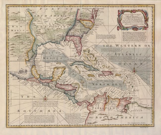
Subject: Gulf of Mexico and Caribbean
Period: 1745 (circa)
Publication: An account of the circum-navigations of the globe…
Color: Hand Color
Size:
17.8 x 14.5 inches
45.2 x 36.8 cm
Download High Resolution Image
(or just click on image to launch the Zoom viewer)
(or just click on image to launch the Zoom viewer)