Catalog Archive
Auction 124, Lot 202

"[Adjutant's Office California coast]",

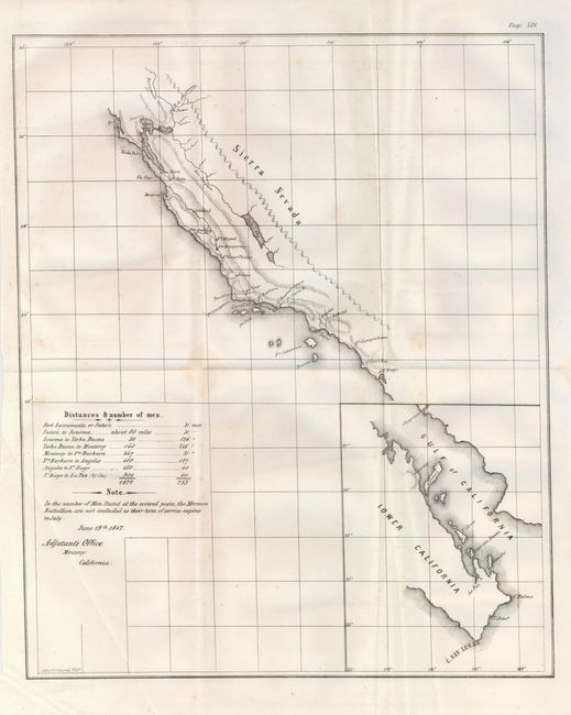
Subject: California and Baja

Period: 1847 (dated)

Publication: Senate Ex. Doc. 1, 30th Congress, 1st Session

Color: Black & White

Size:
11.8 x 14.5 inches
30 x 36.8 cm
Download High Resolution Image
(or just click on image to launch the Zoom viewer)

This untitled Mexican/American War map shows the southern California coast. It names San Diego, Capistrano, San Gabriel, Angeles, Monterey, and Santa Clara. A road extends from San Diego north to the San Francisco peninsula then to Sonoma and ends at Sutter's Mill (Suters) where gold would be discovered the following year. A table gives the distance between major posts and the number of soldiers posted at each. The troops of the Mormon Battalion are not included "as their term of service expires in July." The map is dated June 19, 1847 and is signed in the plate, "Adjutant's Office, Monterey, California." Large inset details the Baja from C. San Lucas up to Loreto, locating La Paz and shows Guaymas on the mainland. An uncommon issue printed by the P.S. Duval company of Philadelphia.

References:

Condition: B+

Folding as issued. A couple light spots, else very good.

Estimate: $160 - $200

Sold for: $120

Closed on 5/7/2008

Archived