Catalog Archive
Auction 124, Lot 133

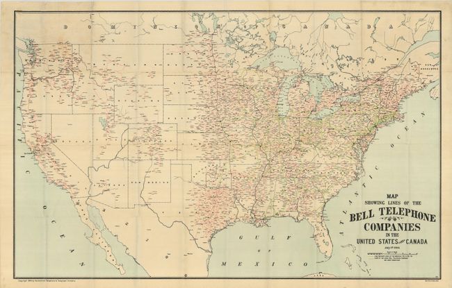
"Map Showing the Lines of the Bell Telephone Company in the United States and Canada",

Subject: United States

Period: 1904 (dated)

Publication:

Color: Printed Color

Size:
39 x 25 inches
99.1 x 63.5 cm
Download High Resolution Image
(or just click on image to launch the Zoom viewer)

Large heliotype folding map showing the extent of American Telephone & Telegraph Co.'s network of communication lines primarily within the United States. AT&T's long distance lines are shown in green and the connecting lines from the other Bell Telephone Companies are shown in red overprinting. An early telephone map in remarkable condition.

References:

Condition: A

The map has a few fold intersection splits, some closed on verso with archival tape, and a small area of residual adhesive on verso where the map was originally mounted in a pocket cover. Otherwise a fine example of a rarely seen map.

Estimate: $150 - $200

Sold for: $150

Closed on 5/7/2008

Archived