Catalog Archive
Auction 123, Lot 288

"Map of Cape Cod and Vicinity", Walker, George H. & Co.

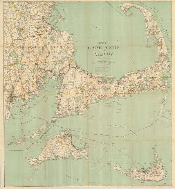
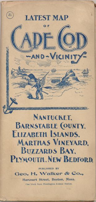
Subject: Massachusetts, Cape Cod

Period: 1892 (dated)

Publication:

Color: Printed Color

Size:
27.5 x 30.5 inches
69.9 x 77.5 cm
Download High Resolution Image
(or just click on image to launch the Zoom viewer)

Well-detailed on a scale of two miles to an inch, this map includes all of Cape Cod, Nantucket and Martha's Vineyard, and extends west to show New Bedford, Mattapoisett, Marion, East Bridgewater and the southern portion of Whitman. Excellent detail includes roads, villages, harbors and ports, steam ship routes and much more. Cycling routes are highlighted in overprinted red. The legend identifies railroads and stations, the "best" roads, and water depth contour lines. Folds into pictorial cover (4 x 8") with blue printing that features a nautical image. The inside and back cover provide a long list of all pocket city and railroad maps sold by Geo. H. Walker & Co. A very nice example of this uncommon pocket map.

References:

Condition: A

There are several archival tape reinforcements to fold intersections on verso. Cover has light soil and a pencil mark.

Estimate: $180 - $220

Sold for: $190

Closed on 2/20/2008

Archived