Catalog Archive
Auction 123, Lot 185

"La Floride, Suivant les Nouvelles Observations…", Aa, Pieter van der

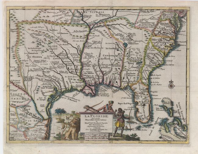
Subject: Colonial Southern United States

Period: 1713 (circa)

Publication:

Color: Hand Color

Size:
12 x 9 inches
30.5 x 22.9 cm
Download High Resolution Image
(or just click on image to launch the Zoom viewer)

This handsome map of the southern United States was based on Delisle's influential Carte du Mexique de la Floride of 1703. The map details early colonial settlements and Indian tribes. The large lake first found on Le Moyne's 1591 map is here called Lac Grande and it is land-locked. The Mississippi River is shown too far west of its true course and the Apalachicoli River flows from a large spurious lake in present-day Georgia. Details of the Bahamas are included. The Gulf of Mexico is filled with a large cartouche featuring Native Americas and an incongruent lion.

References: Cumming (SE) #155.

Condition: B+

The map has an invisibly repaired tear on the left binding side that enters the map about 1.5". The impression is slightly irregular in the lower left corner, and it is reinforced on the verso. Still an attractive example with nice color.

Estimate: $850 - $950

Sold for: $650

Closed on 2/20/2008

Archived