Catalog Archive
Auction 122, Lot 88

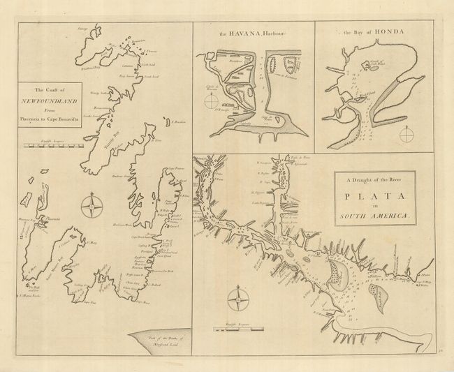
"The Coast of Newfoundland from Placencia to Cape Bonavista [on sheet with] the Havana Harbour [and] the Bay of Honda [and] A Draught of the River Plata in South America", Cutler, Nathaniel

Subject: Western Hemisphere, Newfoundland, South America

Period: 1728 (circa)

Publication: Atlas Maritimus & Commercialis

Color: Black & White

Size:
22.7 x 18 inches
57.7 x 45.7 cm
Download High Resolution Image
(or just click on image to launch the Zoom viewer)

This uncommon chart shows the coastlines and approaches of several important parts of America. The chart at the left depicts the British settlements on the east coast of the Avalon Peninsula with good coastal detail. The other major chart shows the entrance to the La Plata River in South America, showing Buenos Aires and other towns on the banks. Two small charts provide detailed plans of Havana Harbor (Cuba) and the Bay of Honda (Cuba). The Atlas Maritimus was published anonymously, but it is thought to have been the work of John Senex, John Harris and Henry Wilson.

References: Kershaw #513.

Condition: A

A fine impression on strong laid paper. The margins are very slightly trimmed, still leaving ample wide blank margins.

Estimate: $250 - $350

Sold for: $140

Closed on 12/5/2007

Archived