Catalog Archive
Auction 122, Lot 704

"A New Map of the Land of Canaan and Parts Adjoining Shewing the Division thereof among the Twelve Tribes of Israel", Wells, Edward
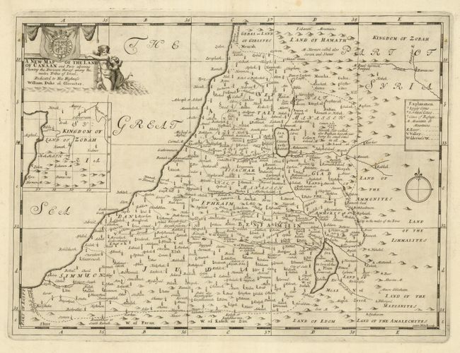
Subject: Holy Land

Period: 1700 (circa)

Publication: A New Sett of Maps

Color: Black & White

Size:
19.1 x 14.1 inches
48.5 x 35.8 cm
Download High Resolution Image
(or just click on image to launch the Zoom viewer)

This attractive map shows the Holy Land divided among the twelve tribes of Israel. Beneath the title cartouche is an inset of the Kingdom of Zobah, a portion of Syria that formed a separate kingdom in the time of the Jewish monarchs Saul, David and Solomon. A key identifies Kingly Cities, Levitical Cities, and Cities of Refuge. The cartouche is embellished with merfolk and the royal British arms, and is dedicated to the Duke of Glocester, who was Well's student at Oxford. Engraved by Sutton Nicholls.

References: Laor #835.

Condition: A

A velvety impression on a sound sheet with a few very faint stains, mostly confined to the margins. Short separation in lower margin.

Estimate: $200 - $275

Sold for: $150

Closed on 12/5/2007

Archived