Catalog Archive
Auction 122, Lot 457

"Les Isles Britanniques ou Sont les Royaumes d'Angleterre d'Escosse et d'Irlande avec les Costes Septentrionales de France et Celles des Pais Bas", Fer, Nicolas de
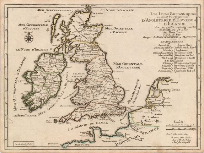
Subject: Britain

Period: 1693 (published)

Publication:

Color: Hand Color

Size:
11 x 8.2 inches
27.9 x 20.8 cm
Download High Resolution Image
(or just click on image to launch the Zoom viewer)

This cleanly engraved, small map of England, Ireland, Scotland and Wales also has some detail of the adjacent French coast. The countries are divided into regions of north, south, east and west, with many placenames and simple depictions of topography. A page of related French text is included with this map.

References:

Condition: B+

A very good impression on a sound sheet with original outline color. There are a couple of minor spots in the bottom of the map.

Estimate: $160 - $190

Sold for: $250

Closed on 12/5/2007

Archived