Catalog Archive
Auction 122, Lot 298

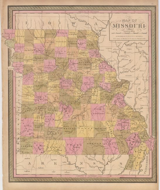
"Map of Missouri", Mitchell, Samuel Augustus
Subject: Missouri

Period: 1848 (dated)

Publication: New Universal Atlas

Color: Hand Color

Size:
13.5 x 15.8 inches
34.3 x 40.1 cm
Download High Resolution Image
(or just click on image to launch the Zoom viewer)

A decorative map of the state shows early settlement along the Missouri River with the counties in the north and south very sparsely settled. The roads are well detailed throughout the state. Entered into Congress by H. N. Burroughs in 1847.

References: Phillips (A) #6106.

Condition: B+

Lightly toned with nice original color. The northwest tip of the map extends into the margin and this has been trimmed slightly, as is common with this map.

Estimate: $170 - $210

Unsold

Closed on 12/5/2007

Archived