Catalog Archive
Auction 122, Lot 202

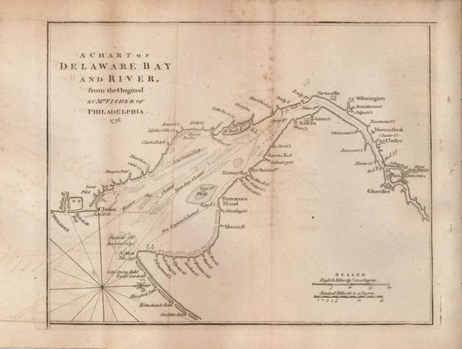
"A Chart of Delaware Bay and River, from the Original by Mr. Fisher of Philadelphia - 1776", Anon.

Subject: United States - Mid-Atlantic

Period: 1779 (published)

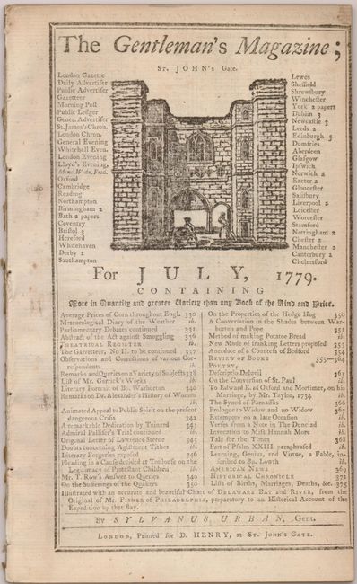
Publication: Gentleman's Magazine

Color: Black & White

Size:
9.2 x 7.3 inches
23.4 x 18.5 cm
Download High Resolution Image
(or just click on image to launch the Zoom viewer)

A fascinating Revolutionary War map based on the chart Joshua Fisher made of Delaware Bay in 1756 and expanded upon in 1776. The Fisher map was the most important map of the bay and river in the eighteenth century. This chart was derived from the 1776 edition, and was published with an article updating the British public on the war in the colonies. It shows the bay and beyond to Philadelphia. It is filled with place names and locates many hazards to navigation along the waterway. A compass rose orients north to the right. Still bound into the original edition of The Gentleman's Magazine, July, 1779.

References: Jolly GENT-268; Sellers & Van Ee #1372.

Condition: B+

A dark impression with some foxing and offsetting.

Estimate: $200 - $240

Sold for: $130

Closed on 12/5/2007

Archived