Catalog Archive
Auction 122, Lot 153

"[Lot of 2] United States [and] United States of America", [blank]

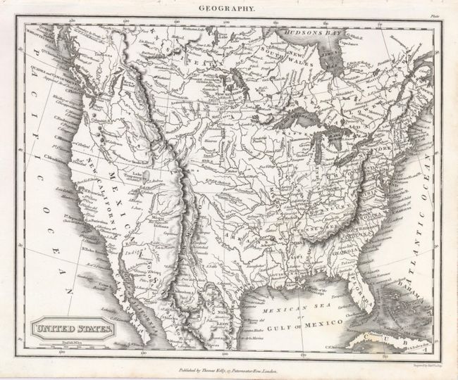
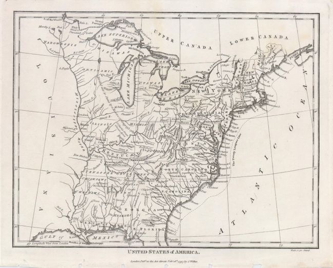
Subject: Canada & United States

Period: 1797-1820 (circa)

Publication:

Color: Black & White

Size:
See Description
Download High Resolution Image
(or just click on image to launch the Zoom viewer)

This pair of maps provides a good view of the early years of the United States and its growth into the beginning of the 19th century.

1) Thomas Kelly's United States is a nice example of known western geography in the 1820's. Mexico controls all of the Southwest as New California. The Salt Lake is fed by the S. Buenaventure River and has an unknown western shore. Lake Timpanogoes is to the north and marked as (doubtful). Interior California and Nevada are blank, the Rockies are labeled the Stony Mountains. It names numerous Indian tribes, forts, missions in California, plus much watershed detail. Engraved by Alexander Findlay (9.3 x 7.5").
2) United States of America has the Tenassee Government named, but still part of the large state of North Carolina. The frontier along the Mississippi has lands noted as belonging to the Illinois, Wabash and New Jersey companies, and there are other lands reserved for troops. Published by J. Wilkes, 1797 (9.4 x 7.2").

References:

Condition: B

Both maps with excellent impressions and some very faint discoloration. Both maps with binding holes in the margin, not affecting the map.

Estimate: $200 - $250

Sold for: $160

Closed on 12/5/2007

Archived