Catalog Archive
Auction 121, Lot 859

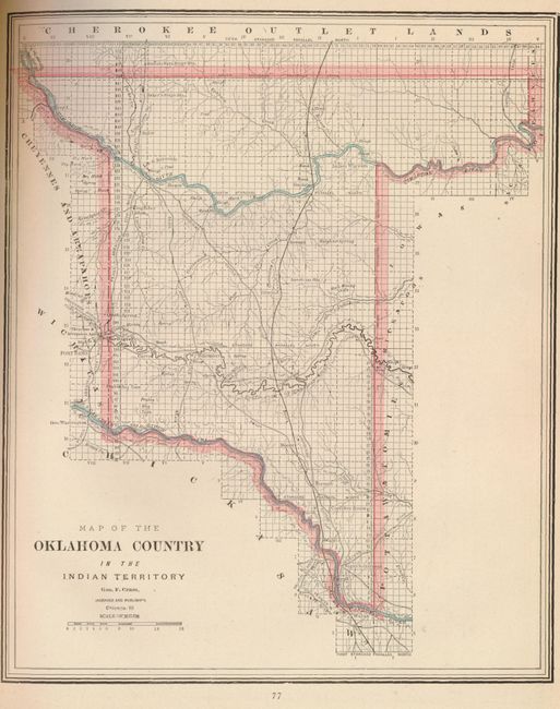
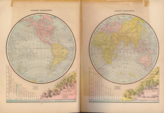
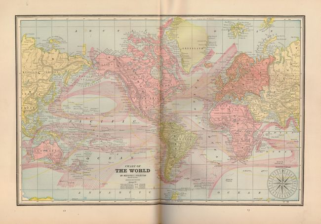
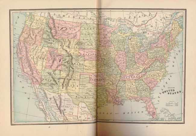
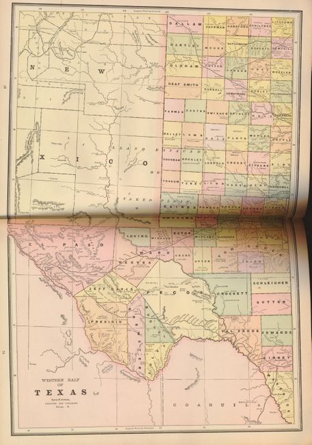
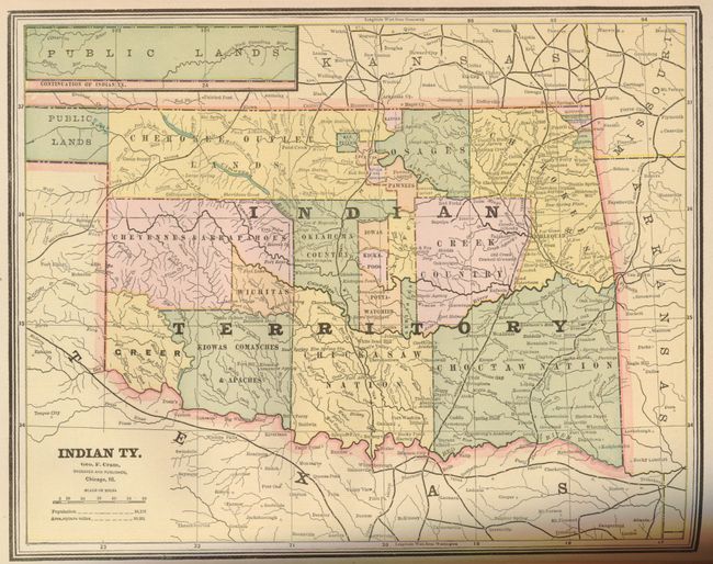
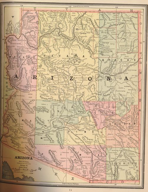
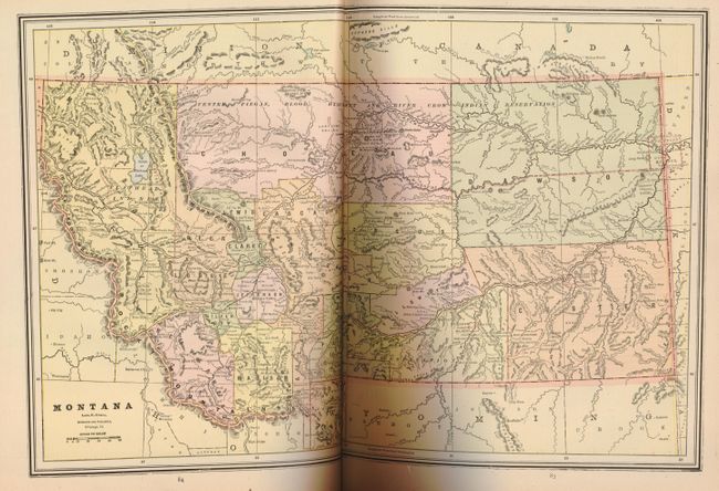
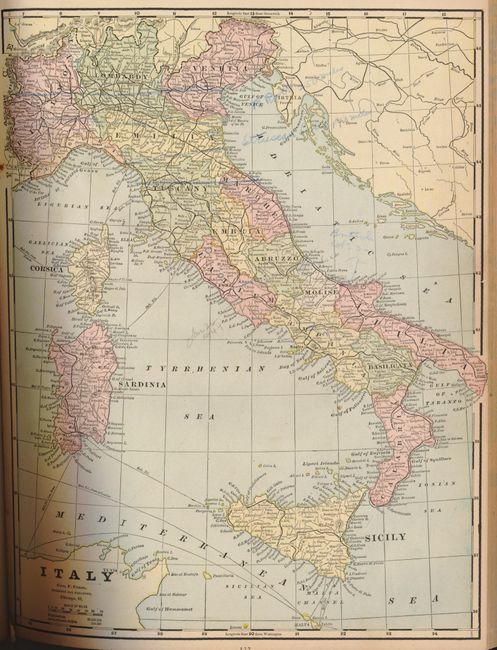
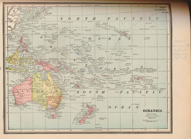
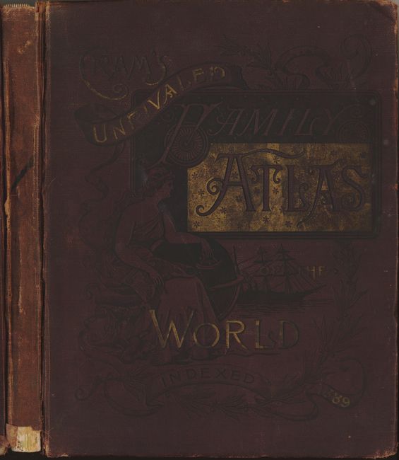
"Cram's Unrivaled Atlas of the World Indexed", Cram, George F. & Company

Subject: Atlases

Period: 1889 (dated)

Publication:

Color: Printed Color

Size:
12 x 15 inches
30.5 x 38.1 cm
Download High Resolution Image
(or just click on image to launch the Zoom viewer)

This atlas is a complete and very nice later 19th century atlas with 77 single page, and 17 double page maps of all the U.S. states, Canadian provinces and countries throughout the world. Most of the maps are printed on both sides of the sheet, and all double-page maps are printed on one sheet and attached to the atlas with a backstrap. There are numerous diagrams, historical charts and city plans. The Historical section on the United States includes additional thematic maps. This hard to find edition contains the uncommon Map of Oklahoma Country in the Indian Territory that shows, railroads, ranches, cattle trails and more. Also in this atlas is a map of Yellowstone National Park Wyoming showing mainly topography. 270 pages. Complete. Small folio. Original hardbound in brown cloth with embossed, gilt title on front.

References:

Condition: B+

Contents generally good with occasional light soiling except for: front endpaper missing, Table of Contents page and Eastern and Western Hemispheres maps show remnants of old glue and are toned. Two maps, Italy and Oceanica, with WW II notations in colored pencil. Hinges are split, front cover almost all separated. Spine is well worn, signatures tight.

Estimate: $170 - $250

Sold for: $70

Closed on 9/26/2007

Archived