Catalog Archive
Auction 121, Lot 448

"Carte Particuliere des Costes Meridionales d'Angleterre Qui Comprend l'Isle de Wight, et le Havre de Portsmouth, avec les Autres Isles, Bancs, et Costes Qui sont Entre le Havre de Chichester, et Celuy de la Pole", Depot de la Marine

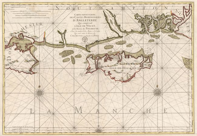
Subject: Isle of Wight

Period: 1790 (circa)

Publication:

Color: Hand Color

Size:
35 x 24 inches
88.9 x 61 cm
Download High Resolution Image
(or just click on image to launch the Zoom viewer)

Superb sea chart of the Isle of Wight and the South Hampshire coast between Bournemouth and Portsmouth, including the islands of Portsey, Haling, and Thornay. The topography, churches and hazardous rocks are shown pictorially, and soundings are noted throughout the map. Three elaborate compass roses and rhumb lines grace the chart, although the royal fleur-de-lis at the top of the two main compass roses has been defaced in this edition, a common occurrence to the royal insignia after the French Revolution. Engraved by C. Berey, with the seal of the Depot de la Marine, Prix Trente Sols.

References:

Condition: B+

A dark impression on a strong sheet with a pair of small wormholes on either side of the centerfold at the top. The fleur-de-lis at the top of the two main compass roses have been defaced with an ink that is about the same age as the map - see description for explanation.

Estimate: $550 - $700

Unsold

Closed on 9/26/2007

Archived