Catalog Archive
Auction 120, Lot 625

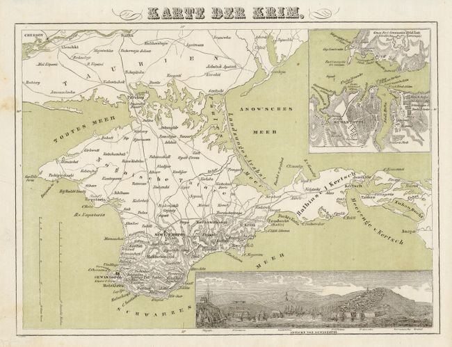
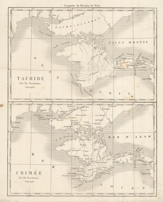
"[Lot of 2 - Crimea]", [blank]

Subject: Ukraine

Period: 1850 (circa)

Publication:

Color:

Size:
See Description
Download High Resolution Image
(or just click on image to launch the Zoom viewer)

Interesting pair of mid 19th century maps detailing the Crimean peninsula.

1) Karte der Krim shows the peninsula with roads noted and topography defined by hachure and surrounded by a green-tinted sea. The map is inset with both a plan and bird's-eye view of Sebastopol (Sevastopol). (9.5 x 7")
2) Tauride and Crimée by Th. Duvotenay. Two maps on the same sheet, show the Crimea as it was in ancient times and also during the period the map was made. Black and white (7.1 x 9").

References:

Condition: B

A little foxing on both maps.

Estimate: $130 - $160

Unsold

Closed on 7/18/2007

Archived