Catalog Archive
Auction 120, Lot 366
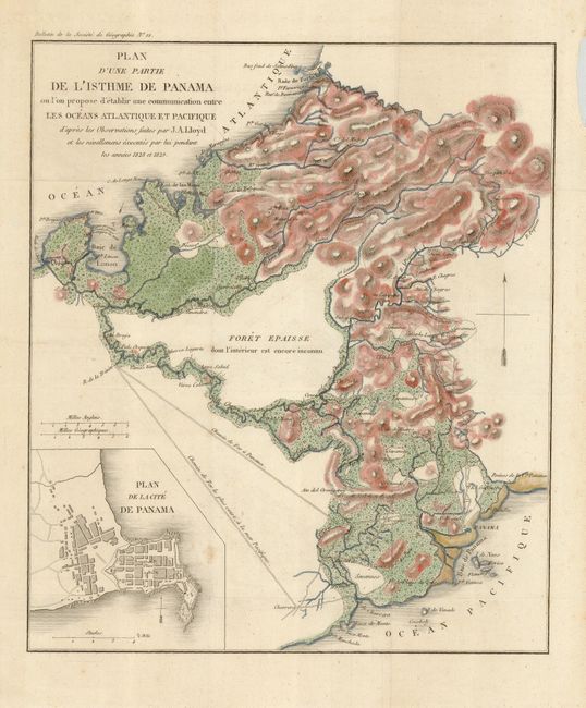
"Plan d'Une Partie de l'Isthme de Panama ou l'on propose d'etablir une Communication entre les Oceans Atlantique et Pacifique…",
Subject: Panama
Period: 1829 (circa)
Publication: Bulletin de la Societe de Geographie No. 88
Color: Hand Color
Size:
9.8 x 11.4 inches
24.9 x 29 cm
Download High Resolution Image
(or just click on image to launch the Zoom viewer)
(or just click on image to launch the Zoom viewer)