Catalog Archive
Auction 120, Lot 292

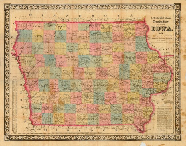
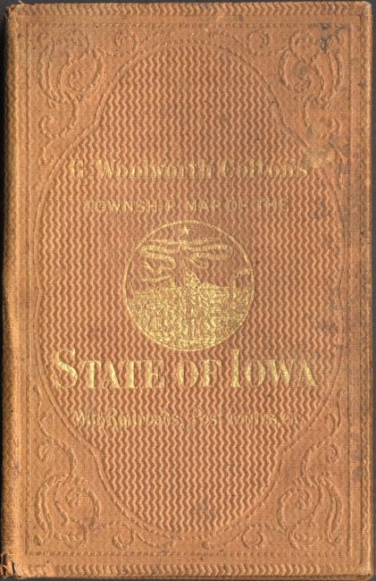
"G. Woolworth Colton's Township Map of the State of Iowa", Colton, George Woolworth

Subject: Iowa

Period: 1863 (dated)

Publication:

Color: Hand Color

Size:
23.2 x 17.8 inches
58.9 x 45.2 cm
Download High Resolution Image
(or just click on image to launch the Zoom viewer)

This highly detailed and brilliantly colored pocket map of Iowa is printed on thin banknote-style paper. Details include the cities, counties, townships, railroads, rivers, and major roads. The decorative border is large and boldly engraved. Table at left lists the population by county from the 1860 census. Map folds into hard covers, 3.7 x 6", with decorative embossed design and gilt stamped title, "G. Woolworth Colton's Township Map of the State of Iowa With Railroads, Post Routes, etc." and state seal. Original paper label on inside cover gives maps and atlases for sale by G. Woolworth Colton.

References:

Condition: B

Original color and full margins. Scattered stains or foxing, and a small portion of lower border missing, well away from map. Cover is rubbed and a little stained.

Estimate: $200 - $250

Sold for: $130

Closed on 7/18/2007

Archived