Catalog Archive
Auction 119, Lot 82

"America noviter delineata", Merian, Matthaus

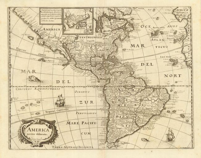
Subject: Western Hemisphere

Period: 1640 (circa)

Publication: Neuwe Archontologia Cosmica

Color: Black & White

Size:
14 x 10.8 inches
35.6 x 27.4 cm
Download High Resolution Image
(or just click on image to launch the Zoom viewer)

Merian prepared this reduced version of his 1631 map for the German translation of Pierre d'Avity's Les Empires du Monde and it accompanied other works of the period including Theatrum Europaeum. It is one of the many derivatives of Jodocus Hondius' map of 1618. North America is depicted with a prominent Virginia and an odd, indented New England coastline, here named Norumbega. The western coastline above California makes the continent entirely too wide. There is only a hint of the Great Lakes. There is a large inland lake in equatorial South America, called Parime Lacus. Small inset of Greenland, obscuring the little-known northwestern part of North America. Strapwork title cartouche, a sea monster and Spanish galleons decorate the map. Merian's signature at lower right.

References: Burden #251.

Condition: A

Estimate: $900 - $1,100

Sold for: $700

Closed on 5/9/2007

Archived