Catalog Archive
Auction 119, Lot 792

"[Lot of 3] Narsinga [and] Malabar [and] Cambaia", Hondius/Bertius

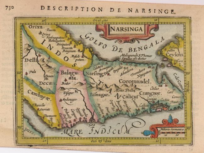
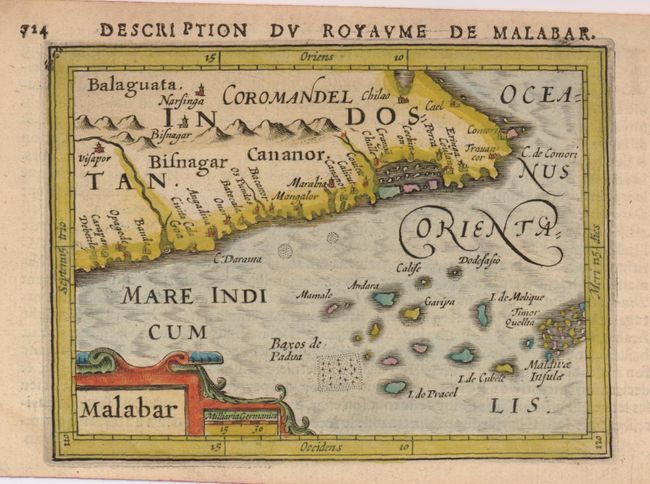
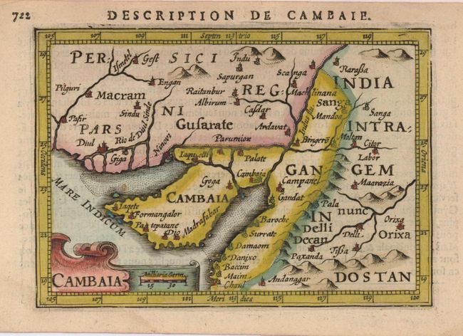
Subject: India and Pakistan

Period: 1616 (circa)

Publication: Tabularum geographicarum contractarum

Color: Hand Color

Size:
5.2 x 3.9 inches
13.2 x 9.9 cm
Download High Resolution Image
(or just click on image to launch the Zoom viewer)

Matched set of interesting miniature maps, each decorated with a strapwork cartouche. French text on verso.

1) Narsinga is oriented with north to the left. It covers the Indian subcontinent and a little bit of Sri Lanka and has many tiny towns noted, including Calicut, Visapor and Dabul..
2) Malabar is an uncommon map of the southern tip of India showing the Malabar coast and a portion of the Maldives with north oriented to the left.
3) Cambaia encompasses the modern day border region between India and Pakistan and the Indus River valley, including the Kathiawar Peninsular.

References:

Condition: A

Lovely old color with a couple of faint damp stains in margins. The map of Narsinga is printed crooked on the sheet.

Estimate: $400 - $500

Sold for: $250

Closed on 5/9/2007

Archived