Catalog Archive
Auction 119, Lot 563
"Britannia et Normannia cum confinijs", Mercator/Jansson
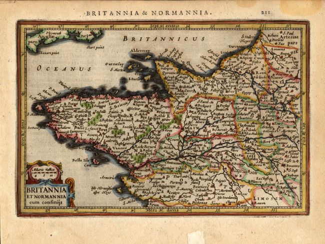
Subject: France
Period: 1628 (published)
Publication: Atlas Minor
Color: Hand Color
Size:
8 x 5.3 inches
20.3 x 13.5 cm
Download High Resolution Image
(or just click on image to launch the Zoom viewer)
(or just click on image to launch the Zoom viewer)