Catalog Archive
Auction 119, Lot 337

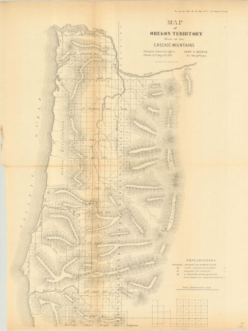
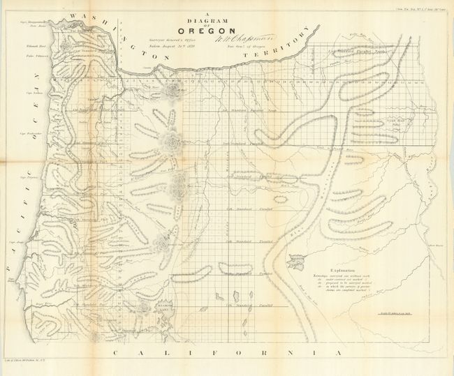
"[Lot of 2] Map of Oregon Territory West of the Cascade Mountains [and] A Diagram of Oregon", General Land Office

Subject: Oregon

Period: 1859 (published)

Publication:

Color: Black & White

Size:
See Description
Download High Resolution Image
(or just click on image to launch the Zoom viewer)

A great pair of maps by the Surveyor General detail Oregon during its last year as a territory and its first year as a state, with statehood granted on Feb. 14, 1859. The first (12 x 17") is dated Aug 30, 1858 and was issued from Salem by John S. Zieber, Surveyor General of Oregon. It details the coastal areas to include the Cascade Range. Features include watershed, topography in hachure and details on surveying accomplished, contracted and proposed. Published as Senate Doc. 1, 35th Congress, 2nd Session.

The second (22.2" x 17.3") is a detailed map of the entire state that was created at the land office in Salem. It shows topographical information in hachure, watershed and the progress of surveying. Eugene City, Oregon City, Port Orford, Roseburg, and many more are located. Trails and roads shown include the Northern Emigrant Route, Trail to Powder River, Capt. Wallens Route, Mix's Trail and the Road to Salt Lake City. Just across the Snake River is Fort Boisee. Map is signed in the plate W.W Chapman, Surveyor General of Oregon. Published in August 1859 as Senate Doc. 2, 36th Congress, 1st Session, less than six months after obtaining statehood.

References:

Condition: B

Both were issued folding, now pressed and backed with archival tissue. Some toning along folds.

Estimate: $150 - $200

Sold for: $110

Closed on 5/9/2007

Archived