Catalog Archive
Auction 119, Lot 333

"Colton's Indian Territory", Colton, G.W. & C.B.
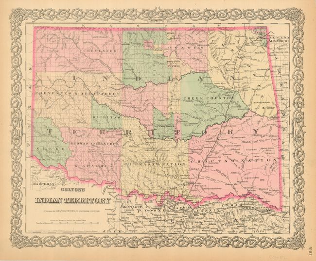
Subject: Oklahoma

Period: 1876 (dated)

Publication: General Atlas

Color: Hand Color

Size:
15.5 x 12.8 inches
39.4 x 32.5 cm
Download High Resolution Image
(or just click on image to launch the Zoom viewer)

A most interesting and detailed map reflecting the status of lands allocated to various tribes. In 1817 the U.S. government began to relocate the principal eastern Indian tribes from their traditional home lands to Indian Territory where the Five Civilized Tribes formed the nucleus of an organized government. By 1876 there were more that twenty-five tribes settled on lands once promised to the original five. This map does not include the panhandle, which by this time are Public Lands. The attractive map is surrounded by Colton's signature strap work border.

References:

Condition: A

Lovely example with fine, original hand coloring. There are a couple of short tears in the blank margins, closed with archival tape.

Estimate: $180 - $250

Sold for: $130

Closed on 5/9/2007

Archived