Catalog Archive
Auction 118, Lot 949
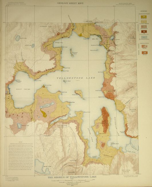
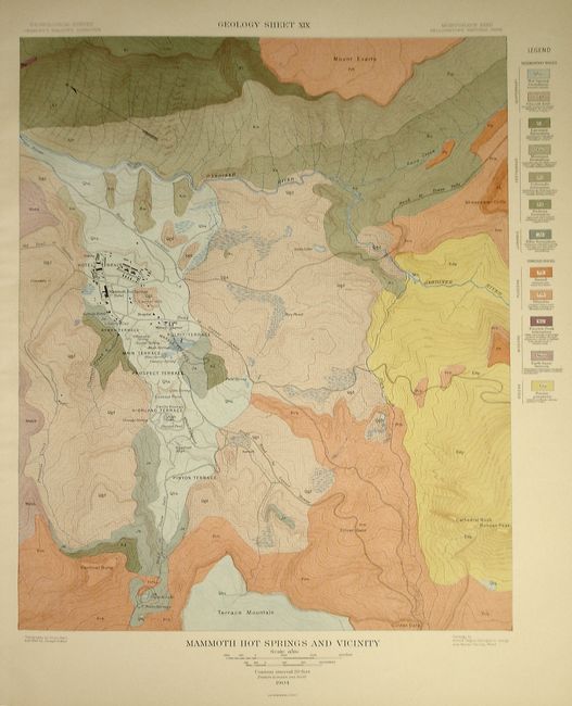
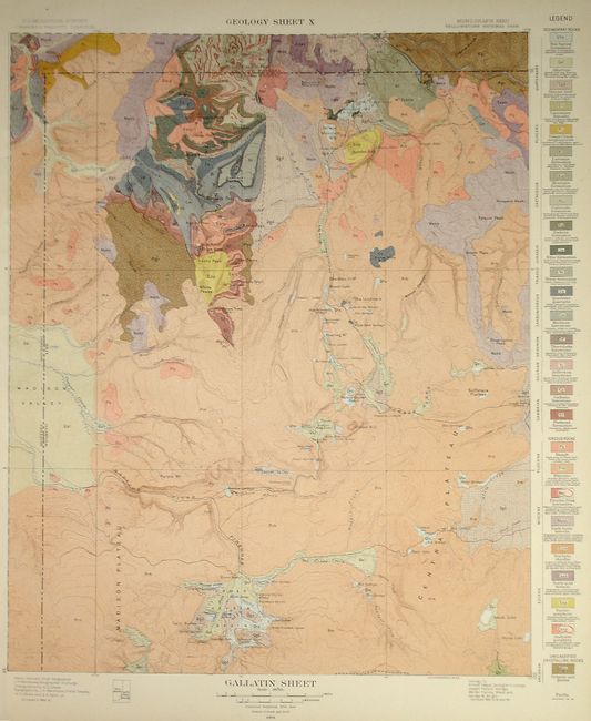
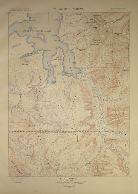
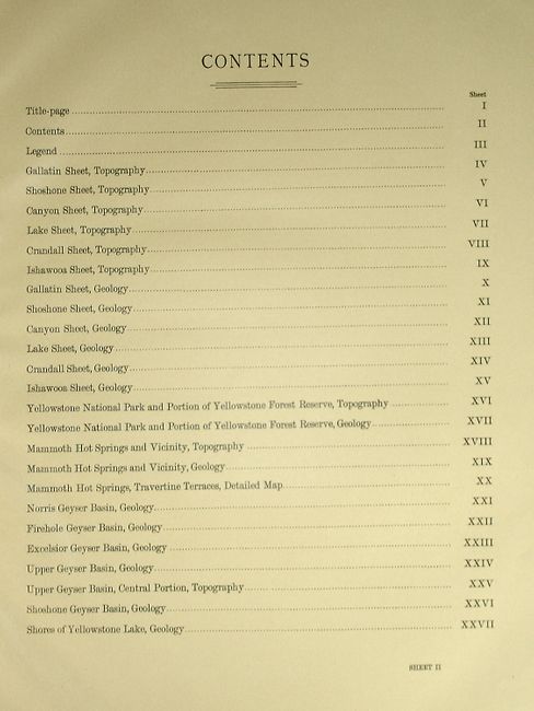
"Atlas to Accompany Monograph XXXII on the Geology of the Yellowstone National Park", U.S. Geological Survey (USGS)
Subject: Atlases
Period: 1904 (dated)
Publication:
Color: Printed Color
Size:
19 x 22 inches
48.3 x 55.9 cm
Download High Resolution Image
(or just click on image to launch the Zoom viewer)
(or just click on image to launch the Zoom viewer)