Catalog Archive
Auction 118, Lot 475

"Carte de l'Isle d'Hayti, Aujour d'hui l'Espagnole, ou l'Isle de St. Domingue, avec les Isles Voisines…", Bellin, Jacques Nicolas
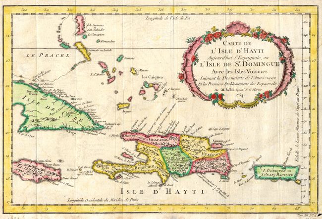
Subject: Hispaniola

Period: 1754 (dated)

Publication:

Color: Hand Color

Size:
13.1 x 8.6 inches
33.3 x 21.8 cm
Download High Resolution Image
(or just click on image to launch the Zoom viewer)

Interesting, small map with Haiti shown divided into the 5 pre-Columbian cacicazgos,or Taino kingdoms. Puerto Rico is named I. Boriquen or S. Jean Baptiste. Nearly all of Jamaica is shown, as well as the eastern half of Cuba, the Turks and Caicos, and the Bahamas as far north as Cat Island.

References:

Condition: B

Light offsetting and some damp staining in lower portion. Small hole in lower right margin, not in map.

Estimate: $130 - $180

Sold for: $90

Closed on 3/6/2007

Archived