Catalog Archive
Auction 118, Lot 361

"The Jerseys, &c, &c", Conder, Thomas
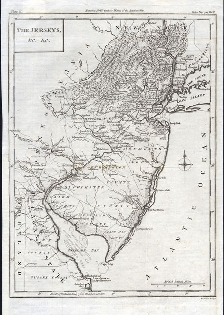
Subject: New Jersey

Period: 1788 (published)

Publication: Dr. Gordon's History of the American War

Color: Black & White

Size:
9 x 12.1 inches
22.9 x 30.7 cm
Download High Resolution Image
(or just click on image to launch the Zoom viewer)

Fine, early map of the state with much information including many towns, villages, roads, watershed and counties, but limited topographical information. The map extends to show New York City, parts of Long Island and Connecticut, and the Delaware Bay. The Whorekill Road is named, ending at Lewes. Important Revolutionary War places are marked with icons and some dates. An uncommon issue in very nice condition.

References:

Condition: A

Issued folding, this example is pressed. A little very light offsetting in lower blank areas and a few short marginal splits on folds, still very good.

Estimate: $300 - $350

Sold for: $375

Closed on 3/6/2007

Archived