Catalog Archive
Auction 118, Lot 183

"Conibas Regio cum Vicinis Gentibus", Wytfliet, Cornelis

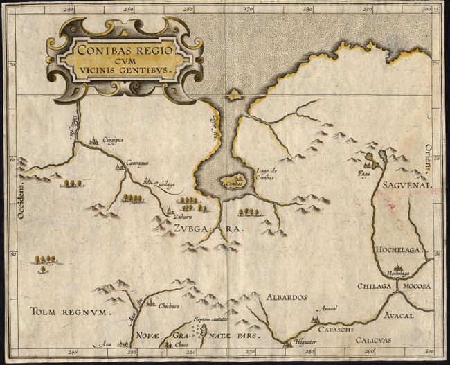
Subject: Central Canada

Period: 1597 (circa)

Publication: Descriptionis Ptolemaicae augmentum

Color: Hand Color

Size:
10.5 x 8.5 inches
26.7 x 21.6 cm
Download High Resolution Image
(or just click on image to launch the Zoom viewer)

This cartographically important map is the earliest map to focus on the central region of Canada and it is the earliest description of the Native American settlement of Hochelaga, which would become Montreal. The Lago de Conibas is considered to be the first description of James - Hudson Bay on a map. A cluster of cities labeled Septem Civitates is located in the lower portion of the map, a reference to the fabled Seven Cities of Cibola. Third state of the map.

References: Burden #100; Kershaw #39.

Condition: B

Nice impression with margins trimmed to plate mark. Short, repaired tear in upper left corner, just entering map.

Estimate: $500 - $600

Sold for: $550

Closed on 3/6/2007

Archived