Catalog Archive
Auction 117, Lot 825
"Charte von Senegambien und Ober-Guinea nebst dem innern Nigritien", Geographisches Institut
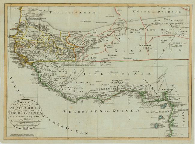
Subject: Africa - Western
Period: 1809 (dated)
Publication:
Color: Hand Color
Size:
16.3 x 11.8 inches
41.4 x 30 cm
Download High Resolution Image
(or just click on image to launch the Zoom viewer)
(or just click on image to launch the Zoom viewer)