Catalog Archive
Auction 117, Lot 78

"Map of America", Wyld, James

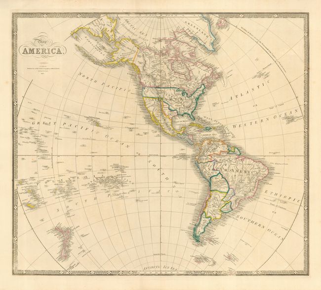
Subject: Western Hemisphere

Period: 1845 (dated)

Publication: A New General Atlas of Modern Geography

Color: Hand Color

Size:
23.3 x 20.5 inches
59.2 x 52.1 cm
Download High Resolution Image
(or just click on image to launch the Zoom viewer)

This handsome, large map features the Independent Republic of Texas with its southern border on the Rio Grande and the northern border on the Arkansas, thus incorporating Santa Fe. In Alaska (Russian Possessions), the discoveries of Dease and Simpson are noted at Point Barrow. The map extends through the Pacific Ocean to include New Zealand and the Pacific Islands where Hawaii is prominently shown. In South America, there is still a remnant of Lake Parime. In the Antarctic Icy Sea, and just peaking out of the keyboard-style border are the South Sandwich Islands, labeled Sandwich Land and Southern Thule.

References:

Condition: A+

Nice impression and lovely original outline color.

Estimate: $350 - $450

Sold for: $300

Closed on 12/6/2006

Archived