Catalog Archive
Auction 117, Lot 768

"China Veteribus Sinarum Regio nunc Incolis Tame dicta", Merian, Matthaus

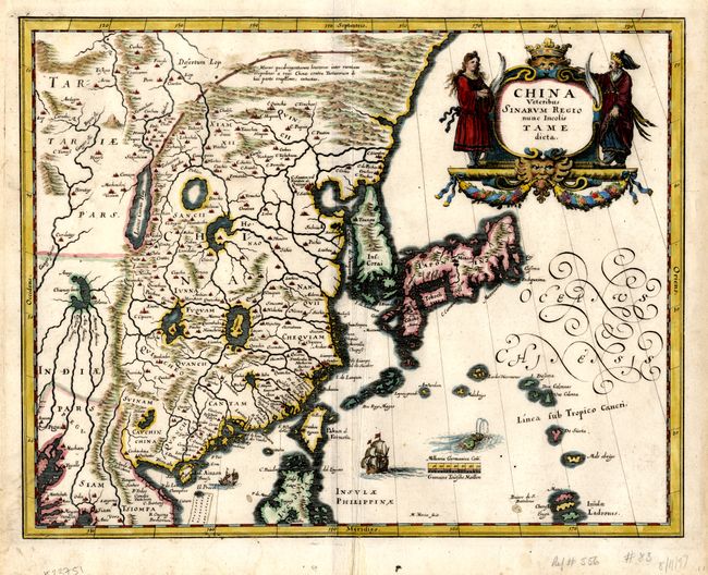
Subject: China, Korea & Japan

Period: 1646 (circa)

Publication:

Color: Hand Color

Size:
13.5 x 10.5 inches
34.3 x 26.7 cm
Download High Resolution Image
(or just click on image to launch the Zoom viewer)

This elegant 17th century map of China and Japan is closely modeled on Jansson's map of 1633. The detail includes the eastern part of China (bounded in the west by the Great Wall), Korea as a strangely shaped island, and the three main islands of Japan. Taiwan is named Pakan al I. Formosa, although Tayoan is named on the island. The imaginary Chiamay Lacus is located in the southern region with five rivers flowing south into India and Siam. A fine title cartouche flanked by Chinese figures, flourishing calligraphy, European and Chinese ships and a sea monster decorate the map.

References:

Condition: A

Very nice example on fine, strong paper with some very light, scattered foxing in margins and a few hinge remnants on verso.

Estimate: $600 - $800

Sold for: $600

Closed on 12/6/2006

Archived