Catalog Archive
Auction 117, Lot 728

"[6 sheets] Dimida Tribus Manasse ... [and] Tribus Ruben, et Gad ... [and] Pars Maxima Tribus Iuda ... [and] Tribuum Ephraim ... [and] Tribus Aser ... [and] Tribus Simeon …", Jansson, Jan
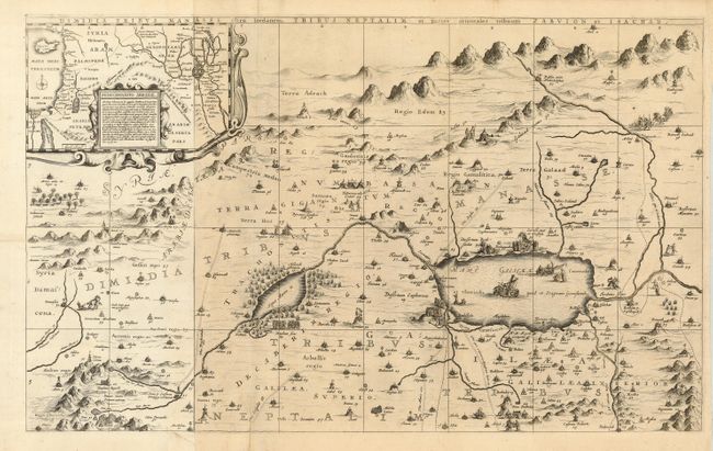
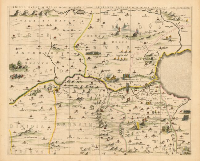
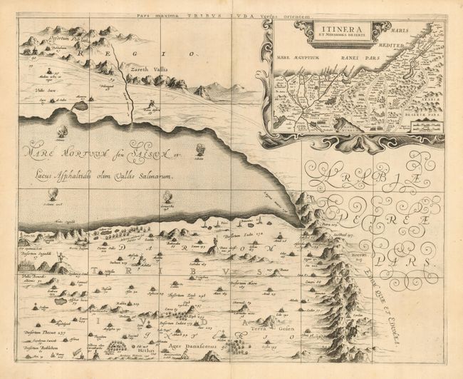
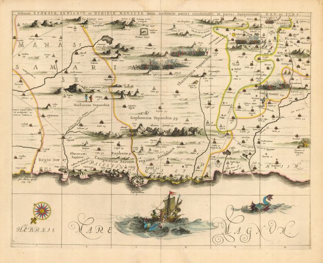
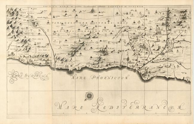
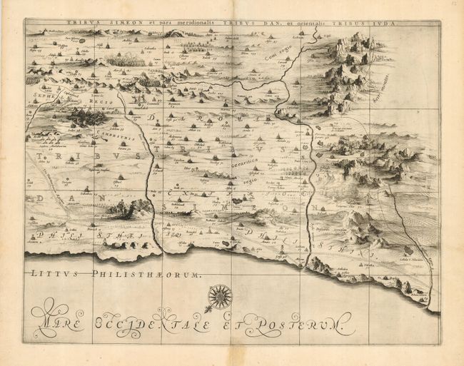
Subject: Holy Land

Period: 1658 (published)

Publication: Accuratissima Orbis Delineatio, sive Geographia Vetus, Sacra & Profana

Color:

Size:
70 x 34 inches
177.8 x 86.4 cm
Download High Resolution Image
(or just click on image to launch the Zoom viewer)

This superb, large wall map on six separate sheets is based on Adrichom's "Situs Terrae Promissionis." Oriented to the east, the map shows the region divided into the twelve tribes on both sides of the Jordan River, the shoreline running from Sidon to Alexandria. The Cison Torrens (Kishon River) is shown as connecting the Sea of Galilee with the Mediterranean Sea, and there are many nonexistent rivers, e.g., a river connecting Jerusalem with the Dead Sea. In the Dead Sea, four burning cities are shown: Sodoma, Gomorra, Seboim, and Adama. The dramatic map is beautifully engraved to show topographical features, major roads, towns and villages and richly embellished with dozens of biblical illustrations. Inset maps in the top corners depict Abraham's journey and the wandering of the Israelites through the desert. Two of the six sheets are made up of one and a half sheets joined together, resulting in the map sometimes being described as a seven sheet map. Two of the sheets are colored in outline; the other sheets are uncolored. Dimensions are for the entire map if the sheets were joined.

References: Laor #343-349; Van der Krogt (Atlantes) #8150:1D.

Condition: B

Fine impression printed on sturdy paper. Some minor soil throughout. Bottom fold separation and small tear on lower left sheet. Bottom fold separation on top left sheet.

Estimate: $4,500 - $6,000

Sold for: $2,400

Closed on 12/6/2006

Archived