Catalog Archive
Auction 117, Lot 660
"Elba Ilba sive Ilva insula", Camocio, Giovanni Francesco
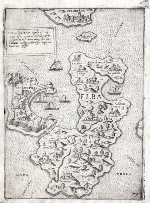
Subject: Italy, Elba
Period: 1574 (circa)
Publication: Isole Famose, Porti, Fortezze, e Terre Maritime
Color: Black & White
Size:
7 x 9.5 inches
17.8 x 24.1 cm
Download High Resolution Image
(or just click on image to launch the Zoom viewer)
(or just click on image to launch the Zoom viewer)