Catalog Archive
Auction 117, Lot 623

"Vetus Descriptio Daciarum Nec non Moesiarum Urbis incognitae positionis…", Jansson, Jan
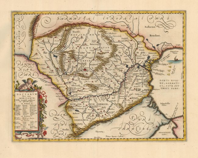
Subject: Balkans

Period: 1650 (circa)

Publication:

Color: Hand Color

Size:
18.8 x 14 inches
47.8 x 35.6 cm
Download High Resolution Image
(or just click on image to launch the Zoom viewer)

Impressive map of the area of Romania and Bulgaria centered on the Danube River. The map is based on Ortelius' map of the region which was in turn based on classical sources. It was beautifully engraved by Petrus Kaerius to highlight the major cities, mountains and rivers and is embellished by a garland draped title cartouche with two putti and a ship in the Black Sea. French text on verso.

References:

Condition: A

Fine impression and lovely later color. Couple of minor edge tears at top, well away from map.

Estimate: $275 - $325

Sold for: $200

Closed on 12/6/2006

Archived