Catalog Archive
Auction 117, Lot 612

"Russie Europeenne; Partie Septentrionale, Deuxieme Carte", Mentelle, Edme
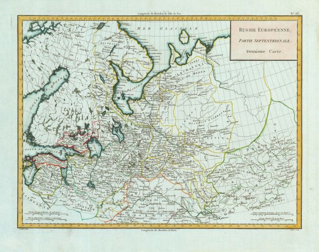
Subject: Russia

Period: 1804 (circa)

Publication:

Color: Hand Color

Size:
17 x 12.7 inches
43.2 x 32.3 cm
Download High Resolution Image
(or just click on image to launch the Zoom viewer)

Beautiful map showing the European reach of the Russian Empire at this point in time. The map is bordered by Norway in the east and Kazan in the west with Moscow at the far south of the map. This example was printed on an unusual, blue-toned paper that is occasionally seen in French printmaking from this period. Engraved by Tardieu.

References:

Condition: A

Very nice impression printed on strong paper with a minor abrasion in the lower blank margin.

Estimate: $150 - $200

Unsold

Closed on 12/6/2006

Archived