Catalog Archive
Auction 117, Lot 551

"A New Map of Swisserland, Divided into Its Cantons and Dependencies, including the Grisons &c. &c.", Cary, John

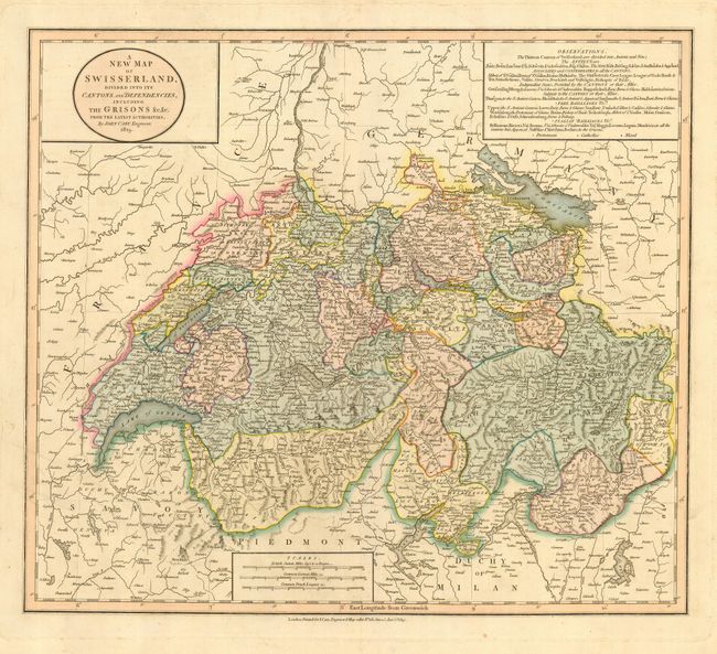
Subject: Switzerland

Period: 1819 (dated)

Publication:

Color: Hand Color

Size:
20.3 x 17.8 inches
51.6 x 45.2 cm
Download High Resolution Image
(or just click on image to launch the Zoom viewer)

This is a very handsome and detailed map of Switzerland showing much information of the towns, cities and topography. The area shown includes the Rhine River at the top of the map and Lake Constance on the border of Germany and Lakes Geneva and Maggiore on the border of Italy.

References:

Condition: A

Very crisp impression with nice, original color. There is some light soil and a short tear in the blank margins, a couple of tiny spots of foxing in map.

Estimate: $200 - $300

Sold for: $150

Closed on 12/6/2006

Archived