Catalog Archive
Auction 117, Lot 488

"La Flandre Imperiale", Colom, Jacob Aertz
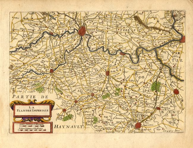
Subject: Belgium

Period: 1660 (published)

Publication: De Vyerighe Colom Klaer Vertoonende in Vyftich Onderscheydene …

Color: Hand Color

Size:
8.5 x 6 inches
21.6 x 15.2 cm
Download High Resolution Image
(or just click on image to launch the Zoom viewer)

This detailed small map covers the vicinity of Gent, Brussels and Antwerp in the heart of Belgium. It provides an excellent view of the roads, rivers, forests, fortifications and villages in the region. The map is adorned with an attractive title cartouche that incorporates the distance scales. This is a very scarce little map from Colom's only land atlas. Jacob Aertsz Colom was the founder of the Colom publishing company. He founded the Navigation School in Amsterdam, and published a number of fine sea charts, coasting pilots and this small atlas of the Low Countries.

References:

Condition: A

Lightly toned with worn corners in blank margins.

Estimate: $140 - $180

Sold for: $100

Closed on 12/6/2006

Archived