Catalog Archive
Auction 117, Lot 463

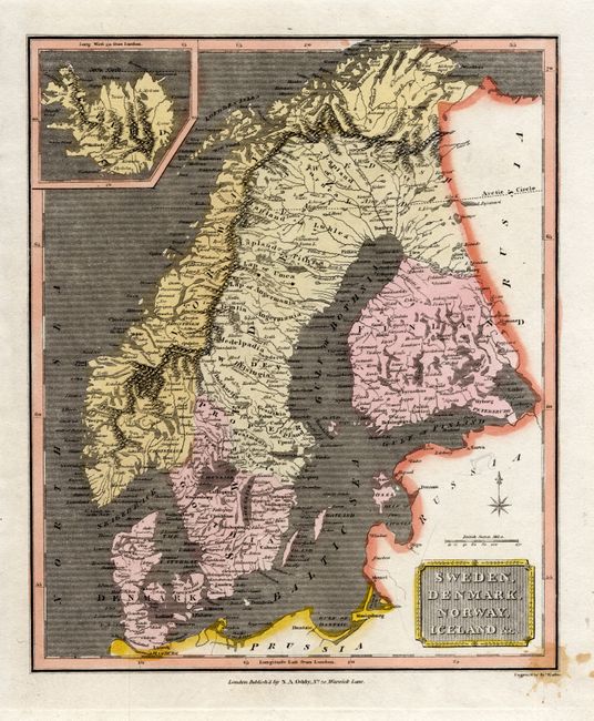
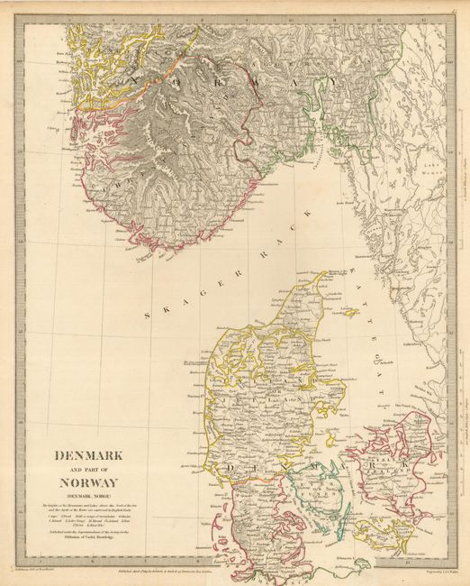
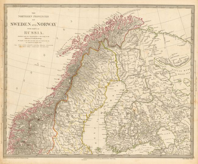
"[Lot of 3] Sweden, Denmark, Norway, Iceland, &c. [and] Denmark and Part of Norway [and] The Northern Provinces of Sweden and Norway with Part I of Russia",

Subject: Scandinavia

Period: 1810-34 (circa)

Publication:

Color: Hand Color

Size:
See Description
Download High Resolution Image
(or just click on image to launch the Zoom viewer)

1) Sweden, Denmark and Norway, Iceland &c. is a handsome map engraved by John Wallis showing these Scandinavian countries as well as Finland. Iceland is shown in inset. Circa 1810 ( 8.7 x 10.5")
2) Denmark and Part of Norway was created by the Society for the Diffusion of Useful Knowledge (SDUK) and has the fine detail typical of their maps. The map is surrounded by a keyboard-style border, and is dated 1826. (12x 15.5)
3) The Northern Provinces of Sweden and Norway with Part I of Russia is another SDUK production extending the region of the previous map into the North Sea up the coast of Norway to the North Cape and across to the White Sea in the east with the Gulf of Finland in the south. Map is dated 1834. (15.3 x 12.5")

References:

Condition: B

1) Stain in the lower right corner.<BR> 2) Original outline color. The map extends past the paper boundaries and was printed with a folding tab, which has torn on one side 1/2 inch into map.<BR> 3) Original outline color. Some soil at edges and a couple of light spots of foxing in map.

Estimate: $150 - $200

Sold for: $75

Closed on 12/6/2006

Archived