Catalog Archive
Auction 117, Lot 405

"[Lot of 2] Venezuela, New Granada, Equador, and the Ghayanas [and] British Guayana", Tallis, John

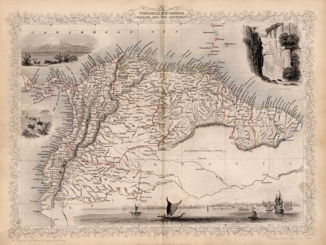
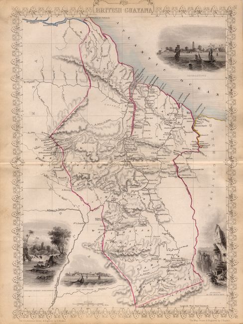
Subject: South America - Northern

Period: 1851 (circa)

Publication: The Illustrated Atlas

Color: Hand Color

Size:
13 x 10 inches
33 x 25.4 cm
Download High Resolution Image
(or just click on image to launch the Zoom viewer)

Typically beautiful and finely engraved steel plate maps of northern South America , drawn and engraved by John Rapkin. There is considerable detail in the maps, and the characteristic delicate borders. The first map, with a horizontal orientation, is decorated with vignettes including a panorama of Paramaribo from the sea, a waterfall of the Bagota River, Ostriches and Chimborazo. The second, vertical map, has four engraved vignettes of Georgetown with numerous sailing ships in the harbor, Christmas Cataract, River Berbice, Ataraipu or the Devil's Rock, and New Amsterdam.

References:

Condition: B

Toned on centerfolds.

Estimate: $90 - $140

Sold for: $45

Closed on 12/6/2006

Archived