Catalog Archive
Auction 117, Lot 388

"La Jamaique aux Anglois dans le Golfe du Mexique [on sheet with] La Bermude aux Anglois", Le Rouge, George Louis

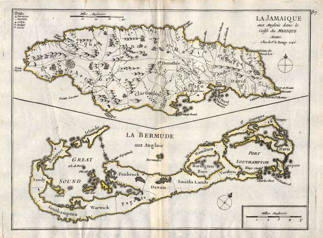
Subject: Jamaica and Bermuda

Period: 1746 (dated)

Publication: Atlas Nouveau Portatif

Color: Hand Color

Size:
10.5 x 8 inches
26.7 x 20.3 cm
Download High Resolution Image
(or just click on image to launch the Zoom viewer)

Two maps of British Possessions in the Caribbean and the Atlantic Ocean, are drawn on one sheet, Jamaica above Bermuda. Jamaica is engraved to show the plantations, denoting those growing sugar, cotton, cacao, and indigo. The map of Bermuda includes an interesting cartographic error resulting from his copying John Speed's map of 1627. In that map, Bermuda was superimposed over a map of the coastline of New England and Virginia to show the relative position of Bermuda. Le Rouge dropped the coastlines of North America, but left the small depiction of Bermuda, which appears on this map as a small offshore island named Bermudos.

References:

Condition: A

Nice impression and original outline color. Faint toning along centerfold with a minor stain at paper edge, well away from map.

Estimate: $350 - $400

Sold for: $250

Closed on 12/6/2006

Archived