Catalog Archive
Auction 117, Lot 353

"Hispania Nova", Wytfliet, Cornelis

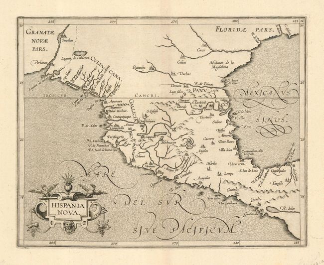
Subject: Southwest United States and Mexico

Period: 1597 (circa)

Publication: Descriptionis Ptolemaica augmentum

Color: Black & White

Size:
11 x 9 inches
27.9 x 22.9 cm
Download High Resolution Image
(or just click on image to launch the Zoom viewer)

This is one of the earliest maps of the American Southwest and Mexico, including the southern part of present-day Texas, here called Floridae Pars, with the Rio Grande, labeled R. de Palmas. The map concentrates on the Spanish area of influence and is one of nineteen regional maps of the Americas contained in Wytfliet's atlas, which was the first devoted exclusively to the New World. Stipple engraved seas, calligraphy and a decorative title cartouche adorn the map.

References: Burden #105; Martin & Martin, p. 75.

Condition: A+

This is a beautiful impression on fine, strong paper. There is only one small printer's smudge in one blank margin.

Estimate: $1,000 - $1,200

Sold for: $800

Closed on 12/6/2006

Archived