Catalog Archive
Auction 117, Lot 345

"Map of Public Surveys in the Territory of Washington", U.S. State Surveys
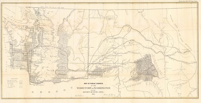
Subject: Washington

Period: 1862 (dated)

Publication: H.R. Ex Doc. No. 1, 37th Cong. 3rd Sess.

Color: Black & White

Size:
35 x 17 inches
88.9 x 43.2 cm
Download High Resolution Image
(or just click on image to launch the Zoom viewer)

Washington Territory was created in 1853. It stretched from the Pacific coast to the Continental Divide, but most of the population was living west of the Cascades. As can been seen from this map, not much progress had been made in the Public Surveys. By 1862, a westward movement to the Idaho mines had given impetus to the creation of Idaho Territory, which was organized in 1863. This map shows Indian Reservations, land claims of the Puget Sound Agricultural Company, proposed railroad routes, and several trails in addition to the surveys. Created by Anson G. Henry, the Survey General, in Olympia, with his signature in the plate.

References:

Condition: B

Issued folding, now pressed. Mostly clean and bright with a bit of light foxing. Some tissue reinforced tears.

Estimate: $150 - $200

Sold for: $160

Closed on 12/6/2006

Archived