Catalog Archive
Auction 117, Lot 289

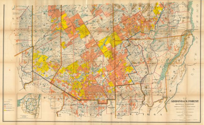
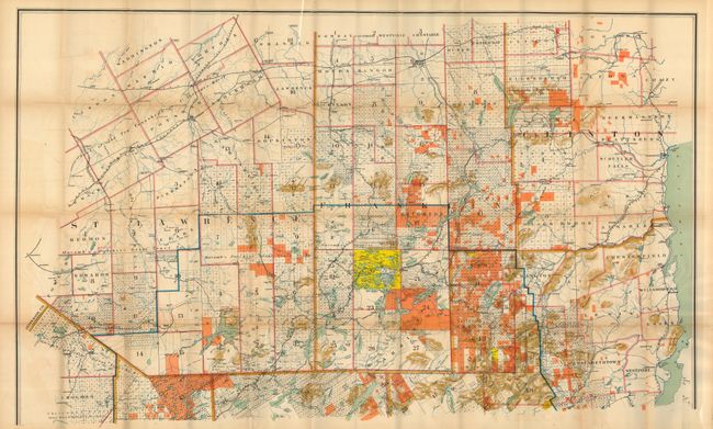
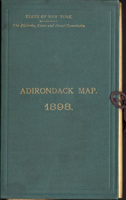
"Map of the Adirondack Forest and Adjoining Territory",

Subject: New York

Period: 1898 (dated)

Publication: State of New York Fisheries, Game, and Forest Commission

Color: Printed Color

Size:
55.5 x 68 inches
141 x 172.7 cm
Download High Resolution Image
(or just click on image to launch the Zoom viewer)

Very large and detailed map of the Adirondacks with an amazing amount of information on the land, topography, lodges and general points of interest. The Adirondack Forest Preserve was initially created in 1885. By that time the forests were badly damaged by rampant logging and burning. Based on the report of Verplanck Colvin the state decreed the Adirondacks would remain 'forever wild,' and created the Adirondack Park in 1895. This large, colorful map contains a colored legend that describes the county boundaries, town boundaries, the proposed boundary of the Adirondack State Park, forest preserve land, lands owned by the state, etc. Printed on two separate sheets, unjoined as issued. The size given is for both sheets as if joined. The map folds into original green cloth covers (5.5 x 9.3) with gilt titling and original cloth ties. Paper label on inside cover lists the Commissioners to the State of New York Fisheries, Game, and Forest Commission, including William F. Fox, Supt. of Forest. The map was deaccessioned from the Angelica Library in New York and includes a confirmation letter.

References:

Condition: B

Toning, light offsetting and some minor separations along the folds. Still very good for a map of this type. The green board folder is intact and in very good condition.

Estimate: $250 - $350

Unsold

Closed on 12/6/2006

Archived