Catalog Archive
Auction 117, Lot 285

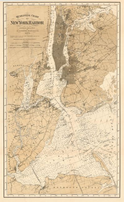
"Quarantine Chart of New York Harbor",

Subject: New York

Period: 1873 (dated)

Publication:

Color: Printed Color

Size:
16 x 27 inches
40.6 x 68.6 cm
Download High Resolution Image
(or just click on image to launch the Zoom viewer)

This very detailed and finely engraved map of the greater New York City area shows the quarantine station between Stapleton and Clifton, New Jersey with distance rings radiating around it in 1 mile increments. The Quarantine Anchorage is west of the main shipping channel and adjacent to the Hospital Ship Illinois and the Receiving Ship Delaware. The chart covers the area just north of Manhattan Island to Monmouth County in northern New Jersey and from Jamaica Bay to just west of Staten Island. Locates the towns of Keyport, South Amboy, Elizabethport, Newark, and more. Good detail of the streets and roads in New York City and Brooklyn. The Brooklyn Bridge, completed the same year is not shown. The waterways are filled with numerous soundings and ferry routes. Published to accompany the report of Dr. Van der Poel. Lithography by Ferd. Mayer & Sons, NYC.

References:

Condition: A

Issued folding. A very nice example with good color and impression and full margins.

Estimate: $180 - $220

Sold for: $190

Closed on 12/6/2006

Archived