Catalog Archive
Auction 117, Lot 152

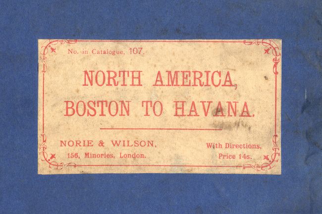
"Chart of North America from Boston to the Strait of Florida and Havana", Norie, John William

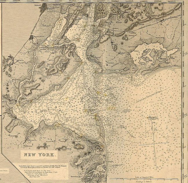
Subject: Eastern United States

Period: 1896 (dated)

Publication:

Color: Black & White

Size:
105.5 x 33.75 inches
268 x 85.7 cm
Download High Resolution Image
(or just click on image to launch the Zoom viewer)

This stunning, scarce blue-back sea chart measures over 8 feet long and includes the coast of North America from the southern end of Maine's coast to Havana with north oriented to the left to allow the reading of the coastline. The map is very much in the style of earlier 19th century charts. It is a copper engraving, rather than a lithograph and it was probably made in a very small run. This is the only example we have seen of this map.

Soundings are shown in fathoms generally, with some shown in feet, and the detail is spectacular. Lighthouses are noted up and down the coast and hand colored in red and yellow. Composed of four sheets joined. Sheet 4 contains the title and is focused on Florida and the northern tip of Cuba. There is wonderful coastal detail and Tampa Bay is meticulously mapped, as well as Cay Sal Bank, Great Bahama Bank and Little Bahama Bank. Sheet 3 continues with the northern portion of Florida to Georgia and South Carolina with some of North Carolina. This portion is inset with maps of St. Johns River, Frying Pan Shoals, Cape Fear River, Charleston Harbour and Savannah River. There are some Remarks on the Gulf Stream describing how the warm and cold water weaves together. Sheet 2 picks up with the rest of North Carolina, Virginia, Maryland and Delaware. This portion is inset with maps of the Entrance to the Delaware, Ocracoke Inlet, Hatteras Shoals, C. Charles & c. and Chesapeake Bay. Sheet 1 begins in New Jersey, New York, Connecticut, Rhode Island, Massachusetts, New Hampshire and the southern coast of Maine to about Saco. This last portion has insets of Boston and New York harbors. The chart is embellished with numerous compass roses. Published by Norie & Wilson at the Navigation Warehouse and Naval Academy. This firm exists today as Imray, Laurie, Norie & Wilson Ltd, still specializing in nautical charts.

References:

Condition: B

Clean, sharp impression, rolled as issued with a couple light stains. There are only two short tears on the right and left edge, just into neatline, the longest of which has been stopped with archival tape on the verso. Still very good for a map of this type. Original color in lighthouses.

Estimate: $1,200 - $2,500

Sold for: $1,800

Closed on 12/6/2006

Archived